Day 32 started off with a trip to the local Kawasaki dealer Wheels Inc. in Fargo. I figured I'd take advantage of the strong Canadian dollar and lower US pricing so I scheduled an appointment to have new tires installed before returning home.
I showed up right at 9 AM store opening, was greeted promptly by the Service Manager who had made a note that we were on a trip and that I wanted our service first thing so we could be back in time to check out of the hotel. At approx. 9:02 AM I handed over the key to the bike and wandered off to look around the showroom to see what would catch my eye. At 9:38 AM I see the Service Manager walking towards me and the first thought is "oh great, what problem have we encountered". Instead he hands me back my key and says, "you're ready to go." I'm sure I had a look of shock on my face and I questioned him saying, "you know I wanted BOTH tires replaced right?" He laughed and informed me they knew I wanted to be in and out fast so they double teamed the bike and had one tech doing the front tire at the same time another tech did the rear. All that and the bill came in $22 bucks less than the agreed quote. Needless to say if you need service work in Fargo, ND I would wholeheartedly recommend the folks at the Wheels Kawasaki/Suzuki/Victory dealership.
After some light shopping we hit the highway into strong headwinds. Charging up I-29 at 77 mph into a big headwind dropped my mileage to shocking numbers even for my Nomad.
Like any good Canadian we had to stop before crossing the border for our Tax free alcohol.
After picking up our bottles at the Duty Free trailer it was off to get in line to return to Canada. One benefit to returning on a Monday was avoiding the ridiculously long lines found on weekends.
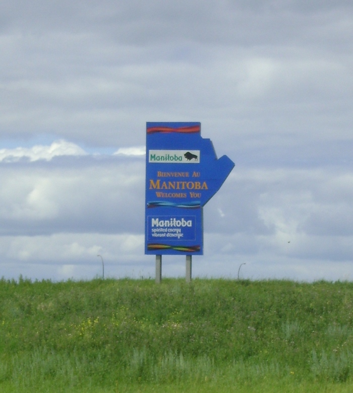
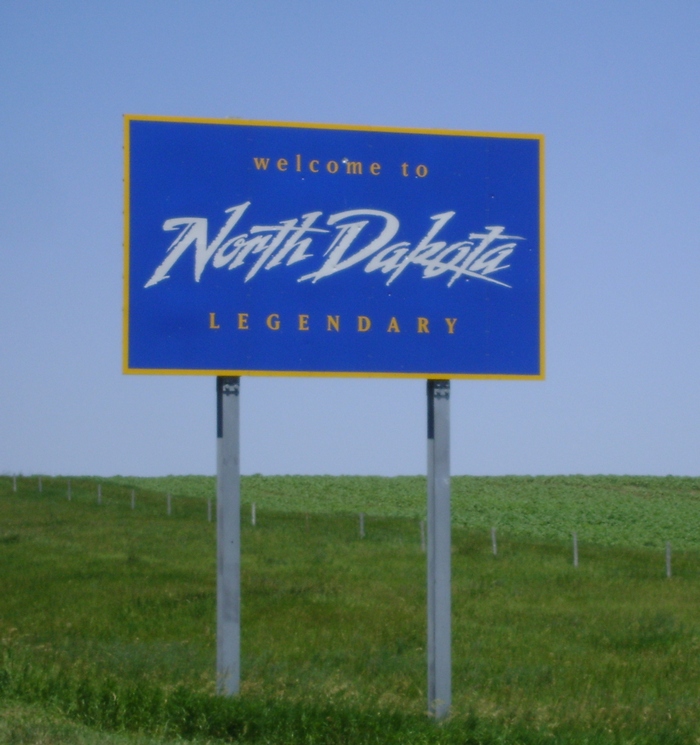
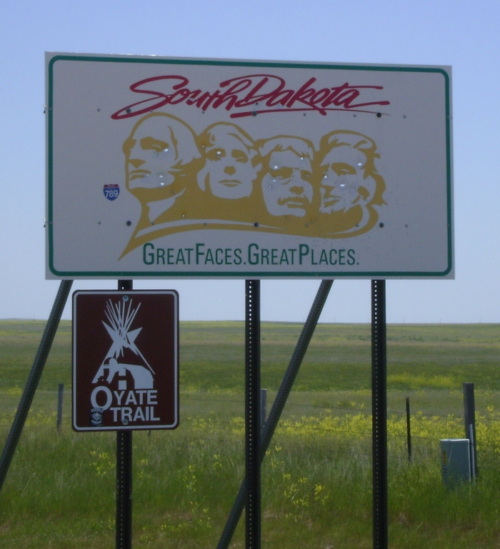
We breezed through Customs and hit our last border sign of the trip, back to Friendly Manitoba.
We stopped just short of Winnipeg to rest our backsides and discuss just how bad Highway 75 is between Emerson, MB and St. Norbert, MB. Over 10,000 KM covered this trip and the last 80 km into Winnipeg were exponentially the worst we had seen by far.
The next stop was home. It was kind of bittersweet to arrive home knowing our adventure was over but it sure was great to see our wonderful son Troy and my faithful Black Lab Roxie after 32 days.
On our final day we covered 428.8 km giving us a grand total of 10419.6 km covered on our journey.
Motorcycle Tour 2011
Monday, 11 July 2011
Sunday, 10 July 2011
Day 31
Day 31 was a a routine day with nothing but a straight shot I-94 blast from Bismarck, ND to Fargo, ND. With the knowledge that we were blessed with an abundance of time and a positive forecast we planned to have a lazy morning and get a late start towards Fargo to avoid arriving at the hotel prior to check in time.
At about 9:30 A.M. I pulled open the curtains of our hotel room and saw a wall of black clouds to the West and sunshine to the East. We had two choices wait and see if it clears out or get moving fast and try to stay ahead of it. After a quick check of the weather we opted for choice #2. A quick check out and we saddled up while it started to drizzle. A few minutes later we were blasting down I-94 at 75+ mph and it was close to an hour before we were comfortably clear of the storm front. With every rest stop along the way the front would close in on us once again but not to a point where I thought we would get caught.
We made it to Fargo without troubles, got a bit of shopping in and then decided we couldn't wait any longer to get some cover. We are now holed up in the hotel amid severe storm warnings including large hail, fortunately for us the tornado warnings appear to be in counties South of our location.
I learned today that the windshield supplied with my Reckless fairing is capable of withstanding a bird strike at 70 + mph, it's permanently marked but didn't break.
Mileage covered today was 421.6 km bringing our trip total to 9990.8 km.
Saturday, 9 July 2011
Day 30
Day 30 has us settling into returning home mode versus vacation mode, which will shorten the blog considerably. Our plans for today was to travel from Spearfish, SD to Bismarck, ND. I still opted for secondary highways instead of hopping on the Interstate although I'm not sure that was the best choice for today. We really saw nothing out of the ordinary and while we avoided Interstate traffic we also traveled on some fairly poor roads as well.
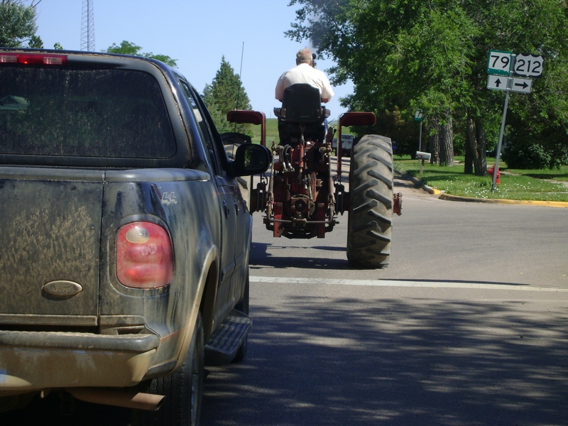
We hit a traffic jam early with traffic backed up two vehicles! in Newell, SD while this tractor made it's way down Main St.
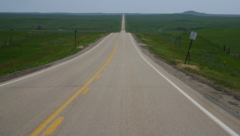
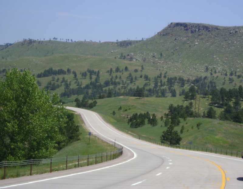
This was no surprise to this prairie boy but figured I'd show what we saw a lot of today to some of the blog followers who possibly aren't familiar with the Dakota's. We went likely close to 100 miles at one point with little more than a slight sweeper of a turn one way or another.
The second last border crossing of our trip.
Thousands of acres available and all the cattle is wedged into this one corner. Not sure if this is related to the severe weather that blew through the area last night but it was like this in almost every pasture we passed today.
Canola fields always give the prairies a colorful look.
Mileage covered today was 496.8 km giving us a trip total of 9569.2 km.
Friday, 8 July 2011
Day 29
Day 29 was a day of exploring the Black Hills area with no real destination other than Spearfish, SD at the end of the day which was where we booked our hotel room to get us a bit closer to our Saturday destination.
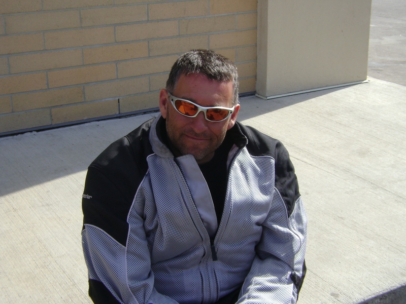
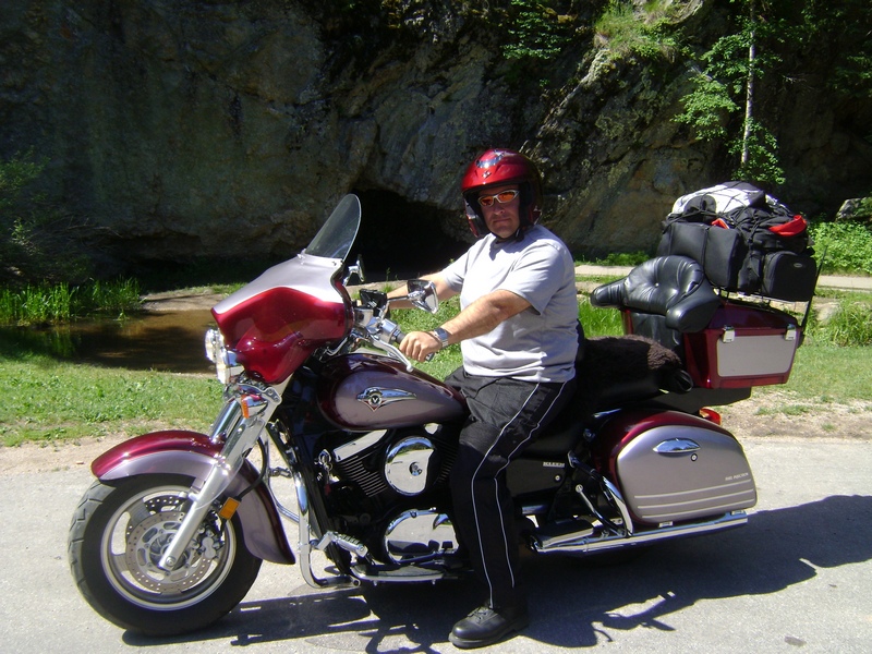
We started off by heading into Custer State park and riding the Needles Highway. This was taken at the Hole in the Wall picnic area. Nothing really there but the hole in the rock wall you see behind me.
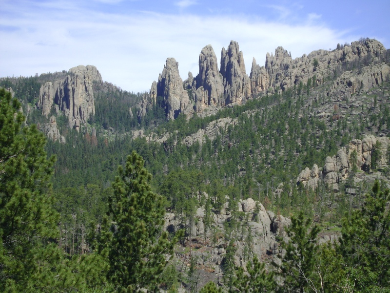
This was taken near the top of the Needles Highway, some very cool rock formations in this part of the park.
While at a stop on the Needles Highway we met a couple from Eau Claire, WI who mentioned they had just been on the wildlife loop and there was literally hundreds of Buffalo on the road. We decided after getting shut out last night that we would double back and check it out. There wasn't hundreds when we rolled through but it was still very cool to sit still on the bike and have a herd of 30 or 40 Buffalo saunter by like you're not even there.
Char took this of me coming through one of the tunnels on Highway 16A heading towards Keystone for lunch.
After lunch in Keystone we headed for Spearfish and checked in to our hotel before going for another loop to look around Sturgis. Grabbed this photo at the entrance sign. After this we headed over to the Sturgis Harley dealer, figured they'd likely be a pretty big dealer. Well I was half right, they only had 4 bikes on the floor but I don't think there was a Harley Shirt/Jacket/Underwear/Tie/School Bag/ etc etc etc.... manufactured they didn't have on a rack.
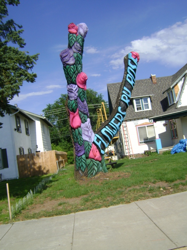
Got to figure the owner of Flowers by Rose knows how to market her product.
After stopping for supper we got back to the hotel and had a nice relaxing time in the hot tub before retiring to the room to settle in for the night. I sat down to do the blog and couldn't find the power adapter to plug in my netbook. After asking Char where she packed it and finding out she didn't recall packing it, I figured this wasn't going to end well. After searching everywhere with no luck I called the hotel in Custer from last night to find out they had it at the desk. It sounded like the owner was not real thrilled with the idea of of mailing it to me and I would be without the netbook for the rest of the trip, so since we were only 71 miles from Custer I jumped on the bike and put the hammer down. Made it to the hotel in record time and turned around for the return trip. I took it a bit easier on the return trip as it was now completely dark out and there is a lot of wildlife in this area. The last 40 miles or so the entire sky was a non stop lightning show and it was obvious some bad weather was rolling in and fast, so I picked up the pace a bit.
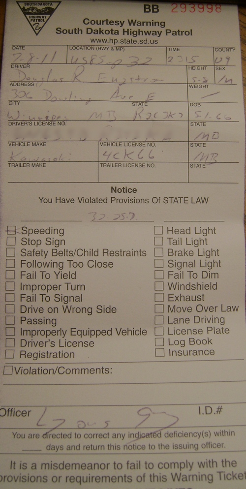
Less than 5 miles from being back at the hotel I saw the bright lights swinging a U-Turn on the highway behind me. This time I didn't get a restaurant recommendation and the warning is a little more formal with it being written and documented but I'll take it, beats paying a tag for 67 in a 55 zone.
Mileage covered today was 585 km bringing the trip total to 9072.4 km.
Thursday, 7 July 2011
Day 28
Day 28 Had us headed for South Dakota. We got on the road a bit later than planned after a restless night sleep due to a noisy motel we both fell back asleep and didn't get our early rise. After all the miles we've covered during this trip the actual riding today was fairly ordinary with nice quiet secondary highways but little in the way of twisties or amazing scenery. This in it's self was another clue we are nearing home.
We came across these two white tails sitting right on the shoulder of the highway having a snack. By the time I got on the brakes and Char got the camera on this was the best shot we could get of them fleeing. We saw a few deer again today and a few hundred Pronghorn Antelope.
Our third to last border to cross on our journey.
A lot of this kind of scenery today.
Our plans upon arrival were to do a nice loop of local riding to see the area but the weather had other thoughts. As we were unloading the bike the sky had the nasty you better take cover soon look to it. About 10 minutes after Char shot this photo I watched as large marble sized hail started to pelt my bike. Without thought I immediately grabbed my key and went to move the bike to try to protect it. I made it about a foot outside the door when I got beaned in the head and promptly retreated for my helmet. I got back outside to find the ground under the overhang I planned to use covered in hail due to the wind direction. At that point there was nothing else to do but surrender and wait. Happily there doesn't seem to be any damage at first inspection.
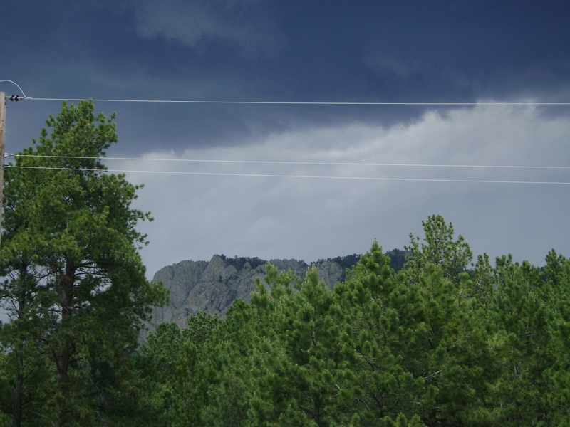
After the weather rolled out we decided to saddle up and go out for a loop. This is a long range shot as we passed by the Crazy Horse Monument.
Next we headed (pun intended) to the Mount Rushmore monument.
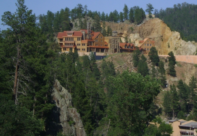
No idea what this building is although it does have a cross on it so I'm guessing some sort of church facility. No matter what it is, it's a very cool looking facility that really catches your eye as you roll into Keystone, SD.
Several one lane tunnels as you pass through Custer State Park.
We took a trip through the Wildlife Loop off highway 16A and while there was a lack of wildlife other than more Pronghorn Antelope we did come across a parking area overrun by a gang of wild donkeys. In this photo that young lad is about to get mugged by a rogue donkey for a piece of bread he has in his hand. In the upper corner that Donkey is considering car jacking the poor lady driver but thought better of it after realizing she was driving an Alero.
After striking out on our Bison search on the wildlife loop Char figured she'd better grab this shot so we had at least one Bison shot.
We ended our loop at the Buglin Bull in Custer for dinner before heading back to the hotel to get some laundry done for the last time on our trip.
Mileage covered today was 445.9 km bringing our trip total to 8487.4 km.
Wednesday, 6 July 2011
Day 27
Day 27 dawned with cloudy skies and an uncertain forecast. checking out the weather forecasts and radar maps I hoped we might make it to our stop for the night before the rain rolled into the area. We departed Steamboat Springs, CO by backtracking down Highway 40 into Rabbit Ears Pass once again. Just as we hit the East summit of the pass we took Highway 14 towards Walden, CO.
In Walden we decided to fuel up even though I still had between 1/2 and 2/3rds of a tank left simply because i was not certain what the rest of our route would bring and I knew based on mileage if I left Walden full then our stop for the night was within range on that tank of fuel. While fueling up in Walden we meet up with 4 bikes from Alabama who were on their way to Montana. These folks seemed pretty pre-occupied by the weather which to me looked like a possibility of rain but nothing I would fret over at this point. During conversation one of the fellows mentioned he had XM weather and there was storms just north of Walden so they all began suiting up. We opted to hit the road and see what transpired along the way. By the time we hit the junction to head east on 127 near the Wyoming border we had to stop and gear up for weather as well.
Not long after suiting up on Highway 127 we crossed into Wyoming. It was around this time that Char and I both commented on how it was obvious we were heading home based on surrounding landscapes.
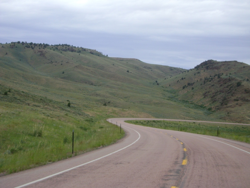
We crossed through a lot of this type of terrain today, grass covered rolling hills with the occasional rock outcropping.
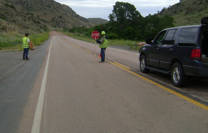
After breaking for lunch in Laramie, WY we headed towards Highway 34 and our final stop for the day. 22 miles into Highway 34 we hit this construction stop and based on the fact the first guy in line had his SUV opened up and was walking his three border collies up the road I figured we might be here a while. A quick check with the flagman confirmed we likely had about a 20 minute unscheduled break. Sounds good, Char was quick to jump off the bike to walk up and down the side of the road and ditches to stretch her legs and rest her backside.
This was approximately 30 seconds later when the flagman mentioned "Ma'am you might want to be careful around the sides of the road, the rattlesnakes have been really bad lately coming out to sun themselves". Char is not a fan of snakes and was rapidly trying to climb onto the bike backwards so she could watch for snakes.
We saw literally hundreds of Pronghorn Antelope today.
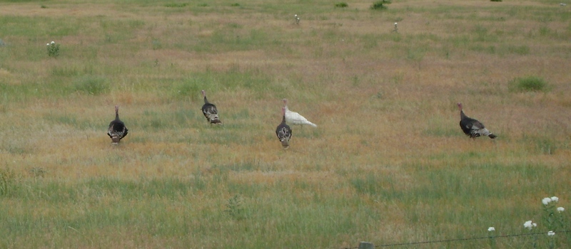
Some local poultry was spotted as well.
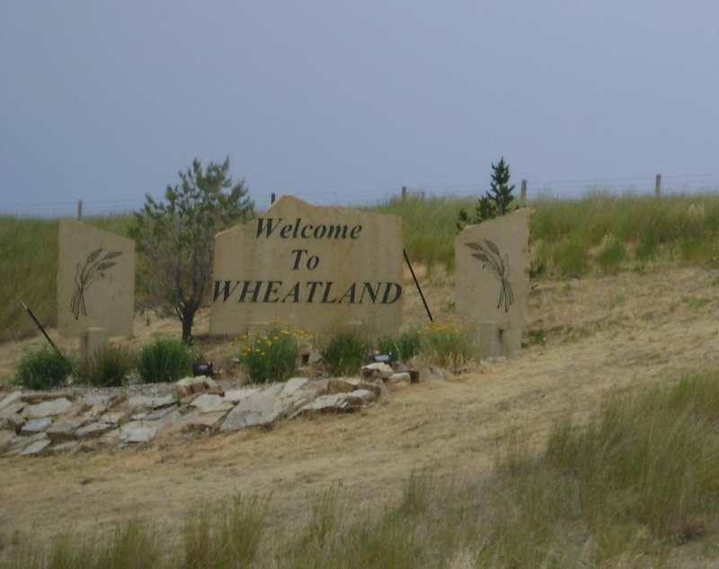
Wheatland, WY is our stop for the night, thankfully we arrived early as I still have no plans for the next two days or hotel reservations in SD so there is plenty to do tonight.
Mileage covered today was 346.9 km bringing our trip total to 8041.5 km.
Tuesday, 5 July 2011
Day 26
Before we can start to talk about the events of Day 26 we need to cover the late Evening of Day 25 and how it had an impact on the rest of the trip. Char and I started walking from our hotel in Glenwood Springs towards a local park where we were informed there would be a major fireworks show for Independence day. As we passed a Shell station there was a nice couple who maybe sensed we were indecisive on where we were heading and invited us to join them in their lawn chairs on the lawn of the station property.
It turns out they were the owners of the station a fellow by the name of Greg Beightel and his Wife who I never caught her name. While watching the fireworks Greg asked us where we were from and I gave my standard response of Winnipeg, Manitoba, Canada and was about to start to explain as I have had to this entire trip but Greg immediately responded with several responses and questions that showed he was pretty up on Canadian Geography. It turns out there is likely very few roads in the USA and a lot of Canada that Greg hasn't seen from the seat of a motorcycle.
After asking us about our travels to date Greg asked us our plans for the next few days of riding. I told Greg we were basically looking at slabbing it to Denver and then onto Cheyenne, WY before hitting some secondary highways on the way to South Dakota. Well by the time we left Greg's office at the station he had mapped us out some must ride roads with only 40 miles of super slab between here and Rapid City, S.D.
So if you are ever in Glenwood Springs, CO and need fuel, or want some info on great roads to ride then stop by and see Greg at the Glenwood Shell at the corner of 6th and route 82.
Day 26 was originally planned to be an off day after 3 straight days of riding but Char and I discussed how we seem to be hitting a wall physically during the trip and decided to alter our plans. So from here until we arrive home we are going to skip taking days off and instead reduce our miles covered per day. We both seem to be getting a bit saddle sore at this point with rest stops coming quicker each day so hopefully this approach will help.
With this plan in mind we planned a very short day today and with Greg's help mapped out an interesting ride to Steamboat Springs, CO which I figured might provide some interesting places to visit with the extra time we would have upon arrival. We got off to a leisurely start later in the morning and immediately hit I-70 East bound coming out of Glenwood Springs. Considering this was going to be our only 40 miles of slab time it was actually about as interesting a ride as you could expect on an Interstate. The first 20 miles or so was through Canyons before opening up into rolling hills.
We left the Interstate at Wolcott and got on route 131 which was another wonderful motorcycle road (they seem to be endless in this part of the state) and headed North towards route 134. Before heading onward on 134 we stopped at the small burg of Toponas for a coffee for Char. This country store was a prime candidate for a spot on the show Hoarders. There was literally piles of stuff everywhere you looked.
Apparently anything can be recycled as a planter!
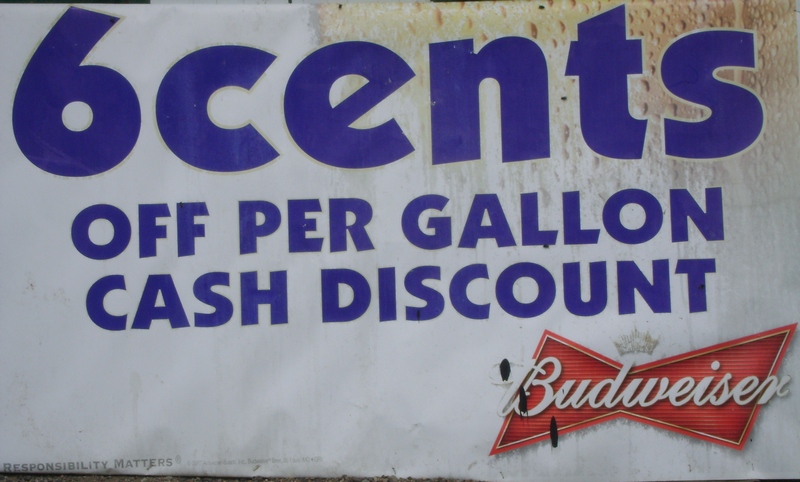
In my younger days I could put away the beer pretty good but I don't recall buying Budweiser by the gallon!
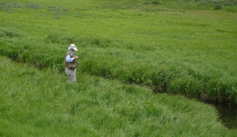
Shortly after going over Gore pass (9527 elev.) on route 134 we came upon this lady fly fishing in a very small stream. She had caught several small Brook trout and had just released a 12" rainbow trout as we were pulling up. Spent a few minutes talking with her husband who it turns out is also Canadian having grown up in Val D'Or Quebec.
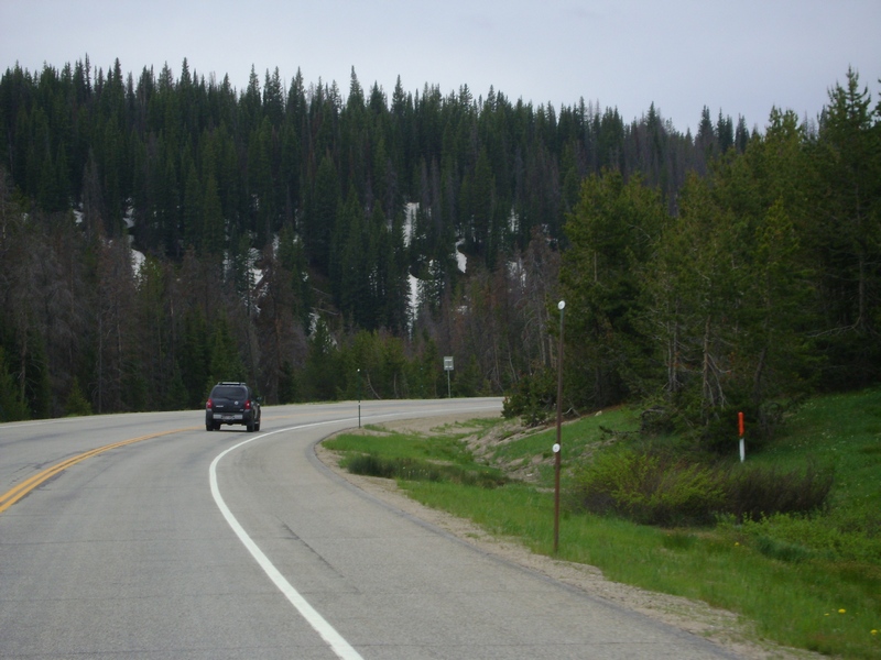
We turned off route 134 and headed North on Highway 40 towards Steamboat, part of why we took this route besides Gore pass was to come over Rabbit Ears pass. Rabbit Ears gets it's name from having two summits giving it the rabbit ear look. We were around 9600 elev. but I was shocked at how much snow was still in the tree lines in this area.
As you descend from the second Rabbit Ears summit you get some great views of the lake as you approach Steamboat Springs.
This is Carl Howelsen who ws the father of skiing in Colorado. He started a ski area right across the river from downtown Steamboat and a Winter carnival tradition that is still alive today.
With only riding a short distance today we needed to find a way to fill some of our time. Char had no trouble with this task as seen here.
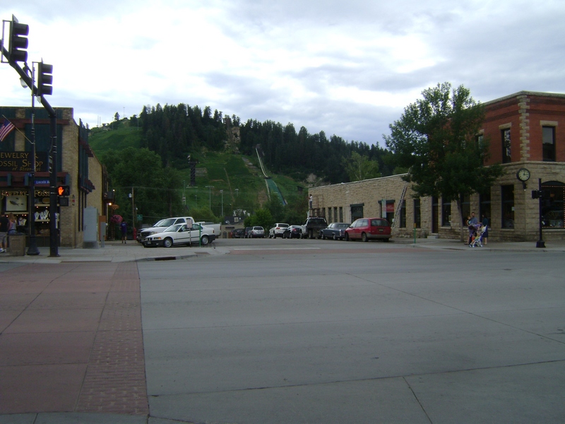
This is a view of Howelsen hill across the Yampa river from Downtown Steamboat.
Mileage covered today was 243.4 km bringing our trip total to 7694.6 km.
Subscribe to:
Comments (Atom)


